CAUSE II Technical Training Strengthens Land Mapping Accuracy in Solomon Islands
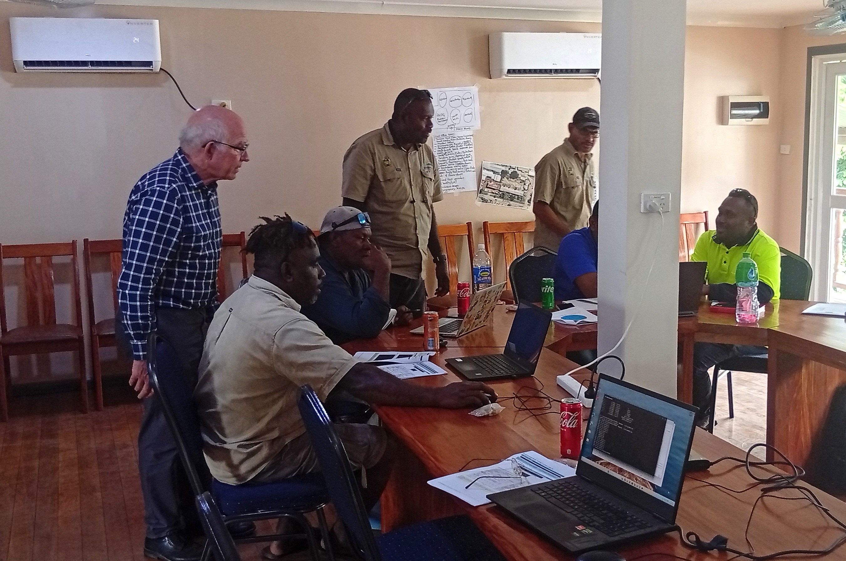
HONIARA, Solomon Islands – THE Community Access and Urban Services Enhancement II (CAUSE II) Project has successfully conducted a hands-on technical training workshop in Coordinate Transformation, strengthening the skills of survey and geospatial staff from the Ministry of Lands, Housing and Survey (MLHS) in Honiara this month (April 2026).
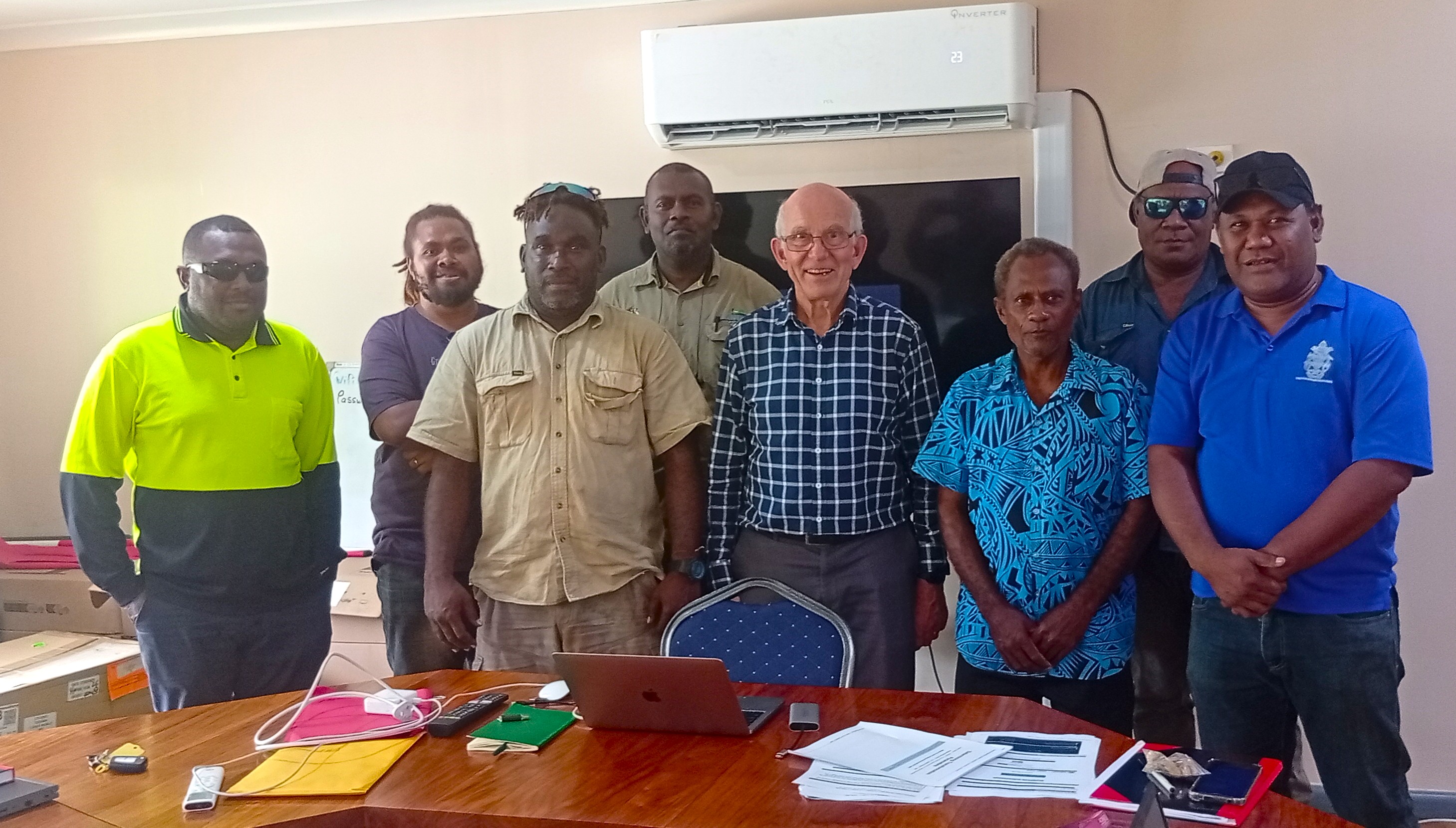
The training brought together the Surveyor General, MLHS Survey Staff, and the NGIC GIS Unit, covering the full process from field survey work through to digital mapping. It supports ongoing efforts under the CAUSE II Project to build a modern and accurate land information system for Solomon Islands.
Key Outcomes include:
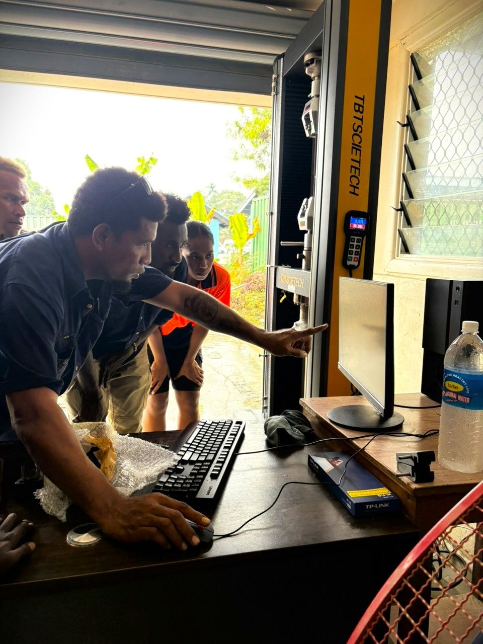
Hands-On Achievement: Every participant successfully processed a complete GNSS/GPS data set from raw receiver files through the AUSPOS online processing service and into the Transformation Parameter Determination spreadsheet - start to finish, independently.
Accuracy Improvement: Initial testing demonstrates the new workflow and tools achieve coordinate accuracy 3 to 4 times better than previously used methods - as significant and measurable step forward for Solomon Islands geospatial data that is based on cadastral survey and mapping.
New Observations: New GNSS/GPS observations completed in the days before the workshop showed excellent agreement with observations made the previous year, independently conforming the reliability of the approach as tested for Honiara.
What Was Achieved: Participants can now convert legacy cadastral survey coordinates (GUX Astro datum) into the modern WGS84 coordinate system used by GNSS/GPS and online mapping platforms such as Google Maps - enabling direct integration with current technology.
Participant Enthusiasm: Strong engagement throughout. Participants are keen to collect further GNSS observations to expand and strengthen the Honiara coordinate transformation model, and to extend this approach to other parts of Solomon Islands.
Materials Provided: Workshop power-point presentation, step-by-step field and processing guide (printed and digital), Transformation Parameter Determination spreadsheet, Spatial Accuracy Assessment spreadsheet, and sample datasets for the participants to reinforce in their own time the training they received at the workshop.
During the training, data collection to finalize coordinate transformation using modern tools and online systems, show a major improvement in accuracy, with the new methods achieving three to four times better accuracy than previous approaches - marking an important step forward in improving the quality of land and mapping data in Solomon Islands.
Project Manager Cris Afable highlighted, “Participants can now convert older survey data into modern coordinate systems used by GPS and digital platforms such as Google Maps, making it easier to use and share information across systems. The workshop also confirmed the reliability of new survey observations which closely matched data collected in previous years. Following the training, CAUSE II will assist in collecting more data in Honiara and expanding the approach to provincial centers, helping to build a consistent and modern land mapping system across Solomon Islands.”
CAUSE II, implemented by the Solomon Islands Government, is supported by the World Bank and Australia through the PNG and Pacific Islands Umbrella Facility Multi-Donor Trust Fund.
ENDS///
Gallery