Survey work brings Honiara property boundaries closer to digital land system
HONIARA, Solomon Islands – WORK to modernise land surveying and mapping in Honiara has taken another step forward, with the Surveyor General’s Division of the Ministry of Lands, Housing and Survey (MLHS) reviewing the accuracy of property boundaries and testing a prototype digital land information system.
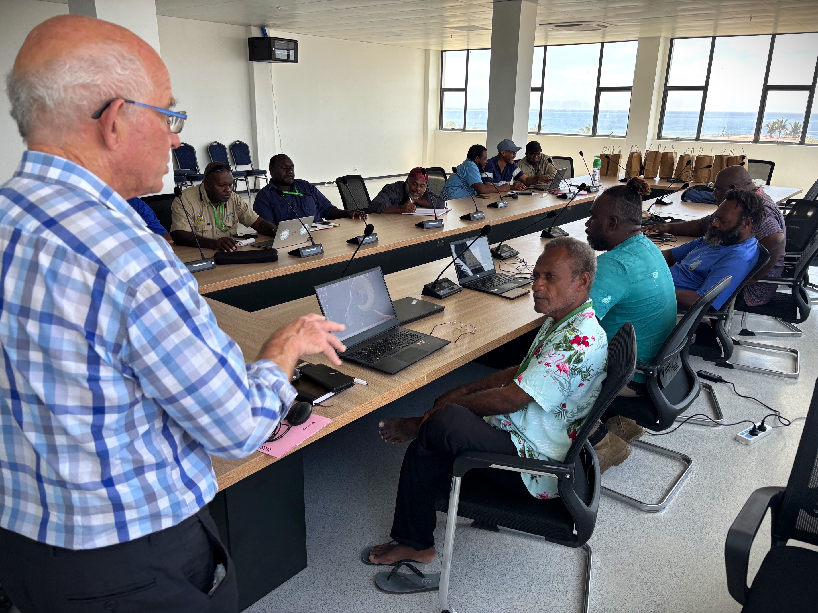
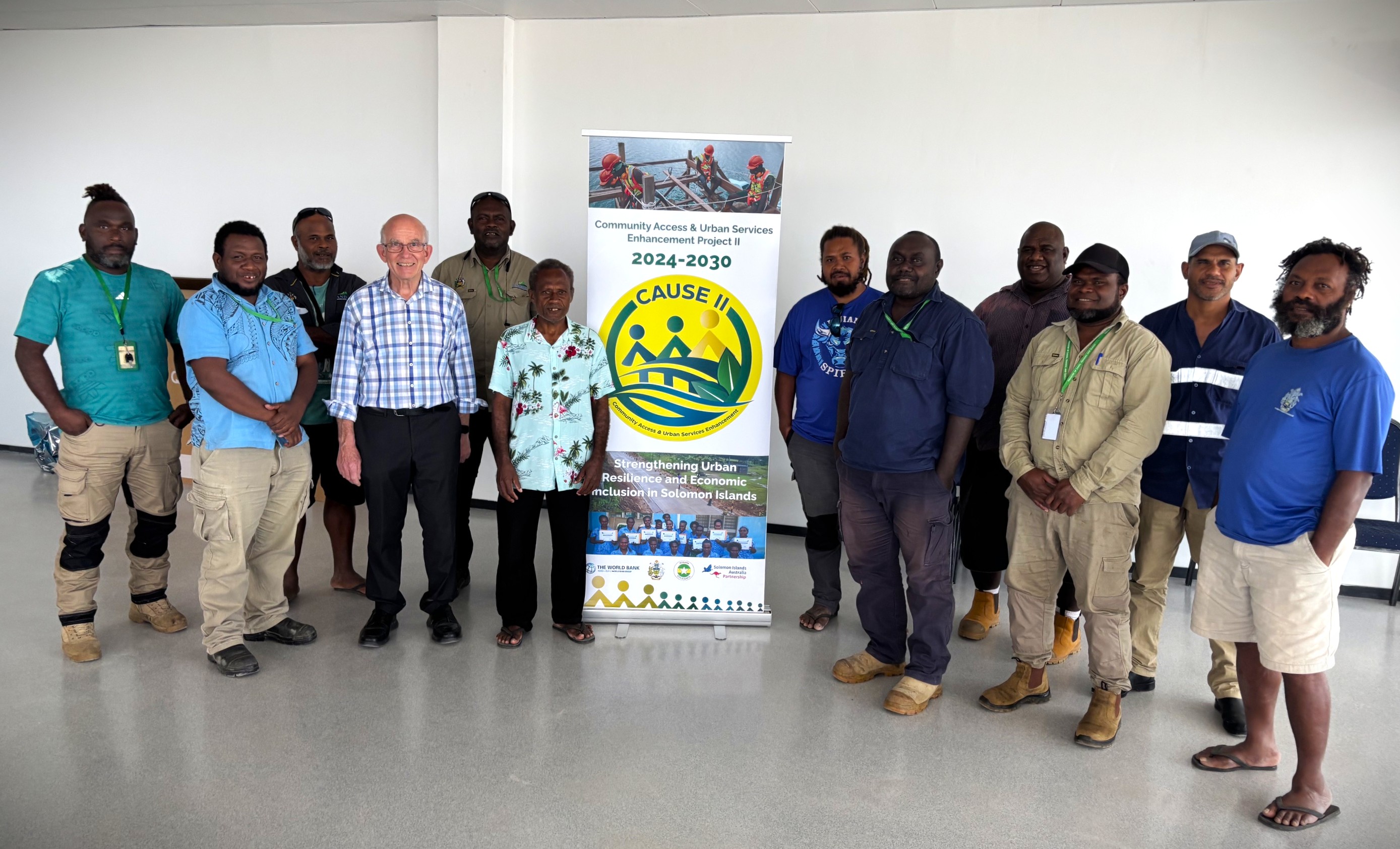
The workshop, held yesterday, was hosted by Surveyor General Leslie Volalia and attended by ten staff from the Survey Section and the National Geographic Information Centre (NGIC). It was supported by the World Bank-supported CAUSE II Project.
One of the main areas of discussion was work carried out earlier this year to bring older survey information into modern coordinate systems.
MLHS surveyors used GPS to determine the mathematical parameters needed to convert survey coordinates from a pre-independence system into the modern coordinate systems used by GPS and digital mapping platforms such as Google Earth.
The workshop reviewed how this work can be finalised and extended beyond Honiara to other parts of the country.
A key outcome was confirmation that Honiara’s property-boundary coordinates are now in good shape for integration into the proposed Integrated Land Information System (ILIS).
The proposed ILIS is intended to provide a shared digital platform for land information, with the system expected to support MLHS, Honiara City Council (HCC) and Guadalcanal Provincial Government (GPG).
Testing a prototype digital land system
The workshop also gave surveyors and mapping staff a hands-on opportunity to review a prototype system built on SOLA, an open-source land administration platform developed by the Food and Agriculture Organization of the United Nations (FAO).
Staff looked at how well SOLA could meet Solomon Islands’ survey and mapping needs, as well as how it could help streamline processes within the Surveyor General’s Division.
The proposed system could also make digital information on property boundaries and ownership more accessible to government agencies and, over time, the general public.
“Getting the survey foundations right is what makes everything else possible,” said Neil Pullar, Land Administration Consultant with the CAUSE II Project.
“Once Honiara’s property boundaries line up with GPS and Google Earth, we can bring boundaries and ownership together in one trusted system that MLHS, the city and the province can all rely on – and that the public can access.”
Feedback from the Division’s surveyors and mapping staff will help shape how the tools are finalised and eventually rolled out across the country.
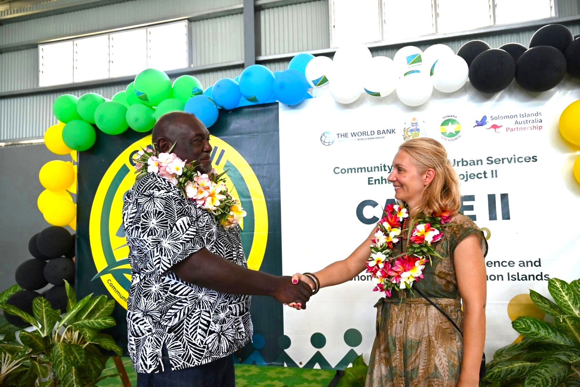
Implemented by the Solomon Islands Government, the CAUSE II Project is supported by the World Bank and the Australian Government through the PNG and Pacific Islands Umbrella Facility Multi-Donor Trust Fund.
Ends///
Gallery